Thursday, May 19, 2016

Activation Report: SOTA W6/NC-151

Today's activation of Mount Vaca was probably one of the easiest that I'll have in the course of my SOTA activities. I was able to drive to within 100 yards or so of my activation point on the summit. The road up Mix Canyon is very steep, winding, and narrow, but at least it's paved. There are multiple radio tower sites strung out along the ridge line, including several of the region's most popular ham radio repeaters. Fortunately, they didn't seem to interfere much with my operation.

One of my goals has been to log contacts on some of the bands that don't see much SOTA activity in this region, specifically 6 meters, 1.25 meters, and 70 centimeters (FM). I am happy to report that I logged contacts on each of these bands today. Granted, there was only one QSO per each band (and two of those were with the same chaser); it was quite satisfying to hear someone on the other end, though. Elliott, K6EL, in San Francisco, answered my call on 52.525 MHz (and also on 146.520, later). Dave, WB6DTB, in Oakley, was kind enough to follow me over from 446.000 to 223.500. Nine QSOs on 2 meters (146.520) made up the balance for a total of twelve.

I used my Yaesu VX-6R on 2 meters and 70 centimeters, a Wouxun KG-UV5D on 6 meters, and a TYT TH-UVF9 for my 1.25-meter contact. As an experiment, I tried my homebrew portable 2-meter antenna on 6 and 1.25 meters and it seemed to work well. I used a Maldol MH-510 whip for 70 cm.

The most distant contact was with Steve, KK6BNJ, approximately 70 miles to the southeast in Jenny Lind. I find this somewhat remarkable because I was situated just over the edge on the west side of the summit, with two very large (active) radio towers between us.


Looking east, toward the Sacramento Valley

Looking west, with Lake Curry below

Far to the south, Mt. Diablo sticks out through the haze.

Looking north, with one of the numerous radio sites

Portable station KK6ZLX. The homebrew antenna gave a stellar performance.

SOTA Alert: W6/NC-151, Mount Vaca

19 May 2016, 1800 UTC (11:00 a.m. local time)
52.525 MHz, 146.520 MHz, 223.500 MHz, 446.000 MHz (all FM)

This should be a pretty straightforward activation. There is a decent road almost all the way up to the summit. Mt. Vaca is the high point of a major ridgeline on the eastern edge of the Coast Range, visible from a large swath of the Sacramento Valley.

This time around, I'm hoping to log at least one contact on 1.25 meters (223.500 MHz), as well as my first summit contact on 70 cm (446.000). More 6-meter contacts would be nice, too. 146.520 will be my fallback frequency in case the other bands don't pan out.

Tuesday, May 17, 2016

Homebrew Portable 2-Meter Antenna Performance

Here is a summary of distances for the simplex contacts I've logged, to date, using the new antenna:
  • 122.32 mi. (196.8 km) -- Vallejo-Forest Ranch (KA6GND)
  • 83.52 mi. (134.4 km) -- Vallejo-Diamond Springs (KJ6KO)
  • 55.86 mi. (89.91 km) -- Dixon-Auburn (KI6AJH)
  • 55.74 mi. (89.71 km) -- Davis-Georgetown (KK6YYD)
  • 49.82 mi. (80.18 km) -- Vallejo-Half Moon Bay (KB6KRA)
  • 43.46 mi. (69.95 km) -- Vallejo-Elk Grove (KJ6WAH)
  • 20.57 mi. (33.1 km) -- Vallejo-Walnut Creek (WA6NGC)
  • 11.22 mi. (18.05 km) -- Vallejo-Pinole (KE6RS)

The contact with KI6AJH in Auburn (55.86 miles) was logged with the antenna on the ground in my backyard (elevation 65 +/- feet [19 meters] above sea level), with several two-story structures close-by to the north and south. The "Vallejo" contacts were from the summit of Sulphur Springs Mountain. "Davis-Georgetown" was from a levee with virtual line-of-sight to Bald Mountain, near Georgetown.

Friday, May 13, 2016

Activation Report: SOTA W6/NC-406

12 May 2016

My second attempt at this activation was a success. With the exception of a minor, last-minute antenna repair at home, there were no technical difficulties. Access to the summit was not a problem, either.

Sulphur Springs Mountain is 1,112 feet (339 meters) high; it is located on a ridge immediately east of the city of Vallejo, California. It is within the boundaries of what is known as the Hiddenbrooke Open Space. I hiked the Hiddenbrooke Trail, the trailhead of which is located along Hiddenbrooke Parkway, approximately 1/2-mile south of Interstate 80. A map from the Bay Area Ridge Trail Council indicates that there is parking at the intersection of McGary Road (parallel to I-80) and Hiddenbrooke Parkway; however, the small park-and-ride lot at that location was full. I was able to find a roadside parking space on the parkway, approximately 1/4-mile beyond the trailhead.

With the exception of two or three short steep sections, the trail was really not too difficult. The trail is easy to discern, with direction signs located at trail junctions.

From the top of the mountain, there are some great views of the north end of the San Francisco Bay and the cities of Vallejo and American Canyon to the north/northwest; to the south, Mt. Diablo (SOTA W6/CC-045) is quite prominent, along with the oil refineries in Benicia and Martinez. A couple of miles to the north can be seen Pt. 990 (W6/NC-422--formerly known as Pt. 970), a target of mine for the near future.

After a quick water break, I set up my 6-meter rig: a Wouxun KG-UV5D handheld (4 watts on 52.525 MHz) with a 45.5-inch base-loaded telescopic antenna. Within minutes, I was rewarded with my first-ever 6-meter FM contact: Jay, KE6GLA, in El Dorado Hills, 73.7 miles (118.61 km) away. Although it ended up being the only 6-meter contact that I logged on this day, I was pleased about it. I had no luck on 70 centimeters, one of my other goals for the day, though. I used my Yaesu VX-6R with a Maldol MH-510 20-inch whip for that attempt.

Next, I switched over to the old reliable: 2-meters (146.520 MHz). I connected my new homebrew portable 2-meter vertical antenna to my 5-watt Yaesu VX-6R and logged seven contacts in just over 30 minutes. Larry, KA6GND, was my most distant at 122.32 miles (196.8 km) away in Forest Ranch. My other six contacts ranged from 83.52 miles/134.41 km (Greg, KJ6KO, in Diamond Springs) down to 11.22 miles/18.05 km (Ron, KE6RS, in Pinole). Ron was one of two Bay Area contacts with whom I had virtual line-of-sight from my position.

Below are my call log and some photos.


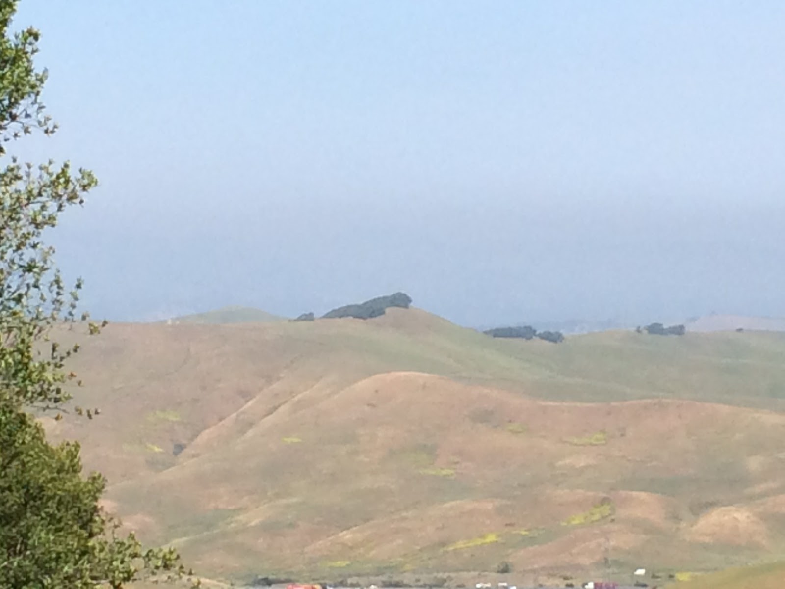
A view of Sulphur Springs Mountain from a point near the trailhead.

Another view of Sulphur Springs Mountain.

A view of the trail toward the summit, with one of the steeper sections ahead.

Looking south toward Mt. Diablo (W6/CC-045), with Suisun Bay and the refineries at Benicia and Martinez.

Pt. 990 (W6/NC-422), a couple of miles to the north.

The Hiddenbrook Subdivision, below to the east.

Portable station KK6ZLX, with my Wouxun KG-UV5D connected to my homebrew antenna. As you can see from the angle of the grass, it was quite windy.

Monday, May 9, 2016

SOTA Alert: Sulphur Springs Mountain, W6/NC-406

Thursday 12 May 2016, 18:00 UTC (11:00 a.m. local time)
52.525 MHz, 446.000 MHz, 146.520 MHz (all FM)

This will be my second attempt at activating this summit. The first time, a lack of proper research led me down the wrong path--literally. Now that I am more confident of the proper route, I'm going to give it another shot.

I would really like to make some FM contacts on 6 meters and 70 centimeters this time (52.525 and 446.000 MHz, respectively), just because it happens so rarely and to show it's possible.

Sulphur Springs Mountain is located in southwestern Solano County, above the city of Vallejo, California.

Saturday, May 7, 2016

Homebrew Portable 2-Meter Antenna: SWR Test Results

The results for the antenna were quite good. I tested it with my Yaesu VX-6R handheld at 5 watts (my usual SOTA rig) on a range of 2-meter FM simplex frequencies from the band plan for my region. The standing wave ratio (SWR) ranged from a low of 1.2:1 at 146.415 MHz to 1.5:1 at 147.585 MHz.

To paraphrase from The ARRL Ham Radio License Manual, SWR is a measure of how well the antenna and feed line impedances are matched. A ratio of 1:1 is a perfect match (and is very difficult to achieve), while SWR greater than 1:1 is called a mismatch. Low SWR indicates the efficient transfer of power from the feed line because less power is reflected by the antenna. It also reduces losses in the feed line resulting from reflected power in the feed line traveling back and forth between the antenna and the transmitter.

Sunday, May 1, 2016

A New Gadget

Yesterday, I paid a visit to Ham Radio Outlet (HRO) in Oakland, California. This was my first visit to a ham radio store; to see all those radios in person, instead of just in a catalog or magazine ad, was incredible. I was able to restrain myself and limited my purchase to the item that I said I was going to buy: an SWR meter. I bought a Diamond SX-1100 SWR & Power Meter, with a frequency range of 1.8 MHz-160 MHz and 430 MHz-1300 MHz. The impetus for this purchase is that I want to test the standing wave ratio of my new homebrew portable 2-meter antenna. I hope to post a report soon.