I logged four contacts:
- On 20 meters (14.340 MHz), I chased KD0YOB, who was activating Iron Mountain (SOTA summit W0C/MZ-031) in northern Colorado, gaining four chaser points for myself. The distance was approximately 822 miles (1323 km).
- On 14.275 MHz, I chased N4CD, who was conducting a National Parks on the Air (NPOTA) activation at Carlsbad Caverns National Park (NP10) for a distance of approximately 1,079 miles (1736 km).
- On 17 meters (18.125 MHz), I responded to a CQ from Norm, NH6I, on the "Big Island" of Hawaii (approximately 2,419 miles [3893 km] away). This is my longest-distance contact thus far.
- On 40 meters (7.230 MHz) I logged another NPOTA contact, this time with K6WDE, who was operating from the Mojave National Preserve (PV13) in the Southern California desert, a little over 400 miles (644 km) away.
On the first three contacts, I needed to run 75 watts to be heard; 50 watts was sufficient for the last one.
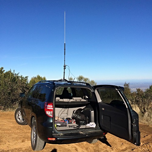
My trusty Yaesu FT-857D is ready for action in the back of my RAV4.
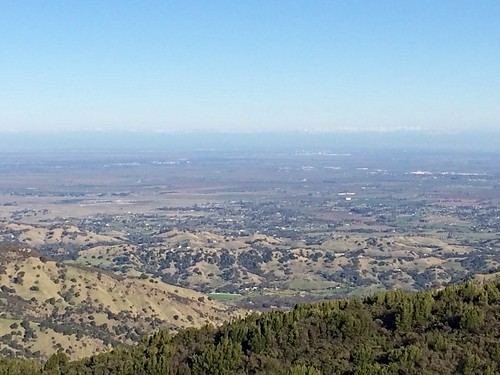
Looking east, with Sacramento and the Sierra Nevada mountains in the distance.
Looking northeast; in the distance, the Sutter Buttes can be seen rising from the floor of the Sacramento Valley.
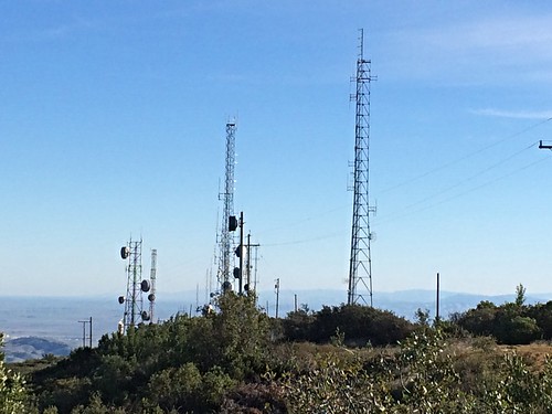
These are just a few of the many radio towers that line Blue Ridge.
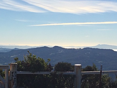
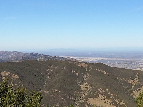
Looking west toward San Francisco Bay, with Mt. Tamalpais in the distance at right center.
No comments:
Post a Comment